
Plot
COORDINATES — every place has many addresses; many cultures have many ways of saying here.
Listen along — Plot
Loading audio…
Press play to listen along. The line being read lights up as you go.
Show full transcript
Loading transcript…
Chapter 4 — Plot and the Many Addresses of Here
Plot stood in the middle of the village square with six visitors around her, all lost, all pointing in different directions, all arguing.
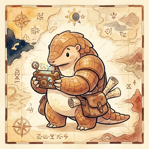
She was a small pangolin-tween with soft grey scales that curved across her back in a neat grid, like a map drawn onto a creature. Around her neck hung a battered little box with dials and a cracked screen — her coordinate-translator. The visitors had come looking for the same well, the old stone one near the river-bend, and every single one of them had been given directions by a different villager, and every single set of directions was different, and now they were sure someone was lying.
“Nobody’s lying,” Plot said. “You’ve all got the right address. Just six different ones.”
They stopped arguing to stare at her.
“You,” she pointed at a tall heron in a traveling cloak, “were told ‘forty-point-seven north, seventy-four west.’ Numbers. Very precise.” She pointed at a beetle. “You were told ‘two doors past the baker.’ Also right.” She pointed at a hedgehog. “You were told ‘follow the river-bend to the crooked pine.’ Right again.” She spread her small clawed hands. “It’s one well. It has as many addresses as there are people who love it. Come on — every one of these roads leads there.”
And she walked them, all six, to the well by the river-bend, each along the path that made sense to them, and every path arrived.
Plot had learned that the day a mapmaker made her cry.
She was little then, and a traveling cartographer had come through the burrow-village to “fix the map.” He’d unrolled a crisp official chart and shaken his head at everything. The way her grandmother said “near the elder’s home” — not real. The way the boundary-walkers marked distance from the river — not real. “There’s only one correct way to locate a place,” he’d said, tapping his grid. “This one. The rest is folklore.”
Plot had gone home with a tight, hot feeling in her chest, because her whole family were boundary-walkers, and the way they said where things were had never once gotten anyone lost.
Her grandmother had found her curled small in the burrow. She didn’t argue with the mapmaker. She just asked, “When you tell me you’re at the crooked pine — do I ever fail to find you?”
“No,” Plot whispered.
“Then it’s real. His grid is real too. They’re both ways of saying here. One isn’t the truth and the others lies, little one. They’re all inventions — his and ours. People made every single one of them, to fit what they needed.” Her grandmother smiled. “The map that made you cry left out five true addresses. Don’t you ever do the same to somebody.”
The hot feeling didn’t vanish. But it had a shape now. It wasn’t shame. It was this matters, and Plot could hold that.
She walked to MapForge at twelve, coordinate-translator swinging at her chest, because a place that studied maps ought to know a map is a choice, not a truth.
Atlas, the old mentor at the gate, didn’t ask her to prove she was clever. He asked one question. “What are coordinates?”
Plot didn’t answer with a speech. She looked around, picked the flagpole in the courtyard, and pointed. “That pole is there,” she said. “Now — where’s there?” She began to answer her own question, ticking off her claws. “It’s a set of numbers off the equator. It’s ‘in front of the east wall.’ It’s ‘nine steps from the gate.’ It’s ‘where the pole is.’” She looked up at Atlas. “Same pole. Four addresses. I can give you forty more, and none of them is the real one, because they’re all things people invented to point at the same spot.”
Atlas looked at the flagpole for a long moment, as if seeing it get slightly bigger. “You belong here,” he said.
Plot’s workshop filled up fast, because everyone had gotten lost at least once.
A frowning fox came in one afternoon, furious at a foreign chart. “I asked where the harbor was and they gave me this,” he said, slapping down a page of numbers. “Eighteen-T, five-eight-three-nine-six-zero. What does that even mean? Why can’t people just say things normally?”
Plot knew that frown. She’d worn it at the crooked pine.
She set the translator on the bench. “Watch. Here’s the harbor.” She typed. The cracked screen lit. “Numbers off the equator: forty-point-seven north, seventy-four west. Or that same spot in the surveyor’s grid — your eighteen-T, five-eight-three-nine-six-zero. Or a street: two-three-three Dockside. Or how the fisher-birds say it: ‘one cove east of the lighthouse, where the swell turns.’” She looked up. “Every one of those is the harbor. Which is normal?”
The fox opened his mouth. Closed it.
“The surveyor thinks his grid is normal. The fishers think the swell is normal. The letter-carriers think the street is normal.” Plot tapped the translator gently. “This box doesn’t crown a winner. It just carries you between them, so you can meet a place however the person in front of you already knows it.” She grinned. “The numbers aren’t the truth of the harbor. Neither is the lighthouse. The harbor’s the truth. All the rest is us, choosing how to point.”
The fox picked up his frowned-at page and looked at it differently. “So it’s not wrong,” he said slowly. “It’s just… one cove east, in numbers.”
“Now you’ve got it.”
Later, when the workshop was empty, the fox came back with one more question, quieter now.
“When I use my way of saying where I am,” he said, “the way from home, the one nobody official writes down — is that still real? Or is it just… the small version?”
Plot thought about the burrow, and the hot tight feeling, and her grandmother’s steady voice.
“It’s real,” she said. “That’s the honest answer. The way that lives in you — the crooked pine, the cove past the lighthouse, the elder’s door — nobody handed you that. You walked it into being. It’s not the small version of some bigger truth. It’s a whole language for finding home.” She looked out the window toward the river-bend. “Every grand official grid was once just some people’s favorite way of pointing, written down and shared. Yours could be too. None of them is the ground itself. They’re all just us, standing in a place we love, and reaching for a way to say here — so someone else can come stand beside us.”
The fox nodded slowly, and Plot watched the tightness leave his shoulders, the same way, years ago, hers had.
She didn’t say the rest out loud, but she thought it, warm and sure: the way you say where you are is never nothing. It’s every path you’ve ever walked, folded into words, waiting to bring someone home.
The MapForge ensemble
Plot is part of MapForge's distributed-narrative cast. Each character embodies a different curricular primitive; together they teach the full subject.
-
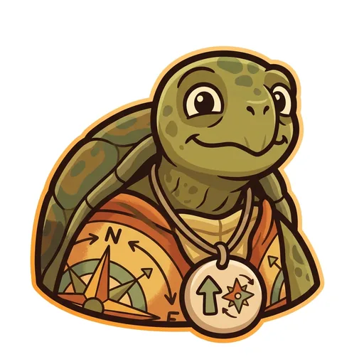
Bearing
Orientation — the tortoise-elder who treats north-up as a convention, not a truth ('north is one direction, not the direction'); teaches that orientation is a choice mapmakers make
-
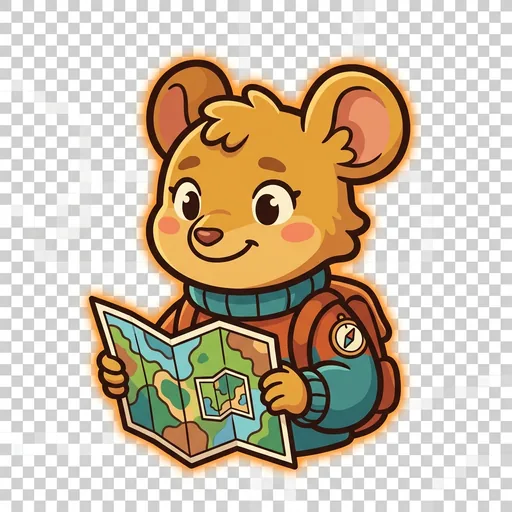
Inset
Scale — the field-mouse-tween with a folded map-within-a-map who teaches scale-choice as a political act ('bigger map, less detail; smaller map, more story — pick on purpose')
-
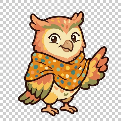
Key
Legend literacy — the owl-tween in a dot-shawl who treats the legend as the mapmaker's confession ('what's NOT on the map — that's also a map')
-
Wayfind
Non-Western mapping traditions — the heron-elder in a woven-grass cloak with stick-chart props who structurally elevates Polynesian wayfinding, Aboriginal songlines, and Indigenous TEK as peer cartographies ('some maps you sing, some you walk, some you only learn from elders')